
District de Putuo topographic map
Interactive map
Click on the map to display elevation.
About this map
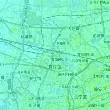
Name: District de Putuo topographic map, elevation, terrain.
Location: District de Putuo, Shanghai, Chine (31.22013 121.32172 31.30476 121.44691)
Average elevation: 6 m
Minimum elevation: 1 m
Maximum elevation: 33 m
Other topographic maps
Click on a map to view its topography, its elevation and its terrain.