Geolocate

Jhajhoo topographic map

Click on the map to display elevation.

About this map

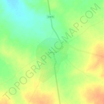
Name: Jhajhoo topographic map, elevation, terrain.

Location: Jhajhoo, Kolayat Tehsil, Bikaner District, Rajasthan, India (27.75086 72.97704 27.79086 73.01704)

Average elevation: 276 m

Minimum elevation: 256 m

Maximum elevation: 293 m

Gear up for your next adventure:

🧭GPS Tracker - Track your location in remote areas safely
🪑Insulated Seat Pad - Protect your seat from cold rocks and wet logs
Family Camping Tent - Spacious tent suitable for family camping trips
💧Collapsible Water Bottle - Space-saving water bottle for outdoor activities
🧦Hiking Liner Socks - Thin base layer to prevent friction and blisters

As an Amazon Associate, this site earns from qualifying purchases at no extra cost to you.