
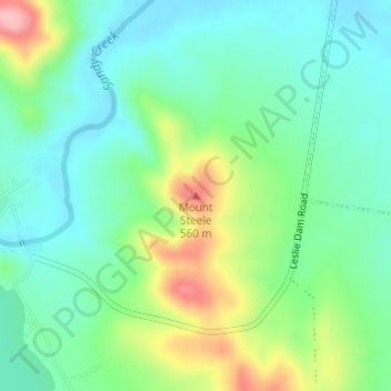
Mount Steele topographic map
Interactive map
Click on the map to display elevation.
About this map
Name: Mount Steele topographic map, elevation, terrain.
Location: Mount Steele, Warwick, Queensland, 4370, Australia (-28.21422 151.93467 -28.21412 151.93477)
Average elevation: 486 m
Minimum elevation: 442 m
Maximum elevation: 585 m