Geolocate

Calantas topographic map

Click on the map to display elevation.

About this map

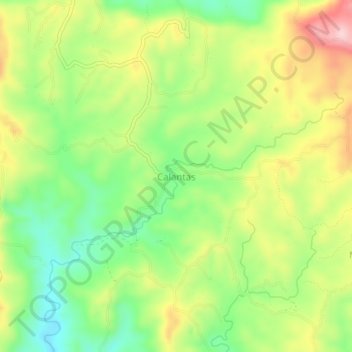
Name: Calantas topographic map, elevation, terrain.

Location: Calantas, Rosario, Batangas, Calabarzon, Philippines (13.71407 121.28815 13.75407 121.32815)

Average elevation: 222 m

Minimum elevation: 125 m

Maximum elevation: 344 m

Other topographic maps

Click on a map to view its topography, its elevation and its terrain.

Pinagsibaan

Philippines > Batangas > Rosario

Average elevation: 57 m

Gear up for your next adventure:

🏕️Camping Hammock - Integrated protection for sleeping between trees
Camping Groundsheet - Protect your tent from moisture and dirt
🚲Handlebar Phone Mount - View topographic-map.com live while cycling
💧Hydration Bladder - Hands-free hydration solution for long treks
Backpacking Tent - Lightweight tent for long-distance hiking trips

As an Amazon Associate, this site earns from qualifying purchases at no extra cost to you.