
Mont Clapier topographic map
Interactive map
Click on the map to display elevation.
About this map
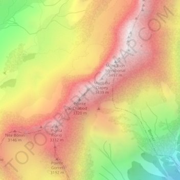
Name: Mont Clapier topographic map, elevation, terrain.
Location: Mont Clapier, Oyace, Vallée d'Aoste, Italie (45.87414 7.35969 45.87424 7.35979)
Average elevation: 2,737 m
Minimum elevation: 1,722 m
Maximum elevation: 3,474 m
Other topographic maps
Click on a map to view its topography, its elevation and its terrain.