Geolocate

El Chichonal topographic map

Click on the map to display elevation.

About this map

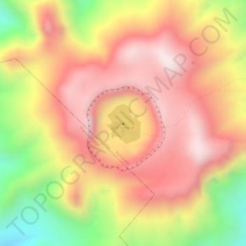
Name: El Chichonal topographic map, elevation, terrain.

Location: El Chichonal, Pichucalco, Chiapas, Mexico (17.36062 -93.22969 17.36072 -93.22959)

Average elevation: 875 m

Minimum elevation: 527 m

Maximum elevation: 1,081 m

Gear up for your next adventure:

🧢Beanie Hat - Keep your head warm in cold weather
🛁Quick-Dry Microfiber Towel - Space-saving towel that dries rapidly on the move
🧊Insulated Water Bottle - Keeps drinks cold in summer and prevents freezing in winter
🚲Bike Repair Kit - Essential tools for on-trail mechanical issues
🔋Lithium AA Batteries - Long-lasting power that performs in extreme cold

As an Amazon Associate, this site earns from qualifying purchases at no extra cost to you.