
Givagård topographic map
Interactive map
Click on the map to display elevation.
About this map
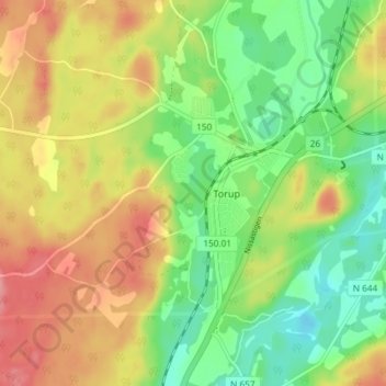
Name: Givagård topographic map, elevation, terrain.
Location: Givagård, Torup, Hylte kommun, Hallands län, 314 41, Zweden (56.93354 13.04804 56.97354 13.08804)
Average elevation: 100 m
Minimum elevation: 56 m
Maximum elevation: 150 m