Geolocate

Bagong Silang topographic map

Click on the map to display elevation.

About this map

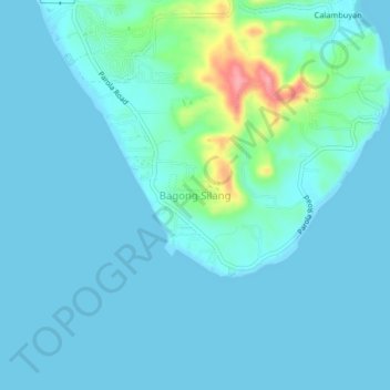
Name: Bagong Silang topographic map, elevation, terrain.

Location: Bagong Silang, Calatagan, Batangas, Calabarzon, Philippines (13.76022 120.63109 13.80022 120.67109)

Average elevation: 16 m

Minimum elevation: 0 m

Maximum elevation: 108 m

Other topographic maps

Click on a map to view its topography, its elevation and its terrain.

Burot Beach

Philippines > Batangas > Calatagan

Average elevation: 3 m

Pagapas Bay

Philippines > Batangas > Calatagan

Average elevation: 15 m

Gear up for your next adventure:

🪑Insulated Seat Pad - Protect your seat from cold rocks and wet logs
🎒Backpack Rain Cover - External shield to keep your entire pack dry
🛌Down Sleeping Bag - Superior warmth-to-weight ratio for cold nights
🚲Handlebar Phone Mount - View topographic-map.com live while cycling
🥾Trail Running Shoes - Lightweight and durable shoes for trail running

As an Amazon Associate, this site earns from qualifying purchases at no extra cost to you.