Geolocate

Gardewada topographic map

Click on the map to display elevation.

About this map

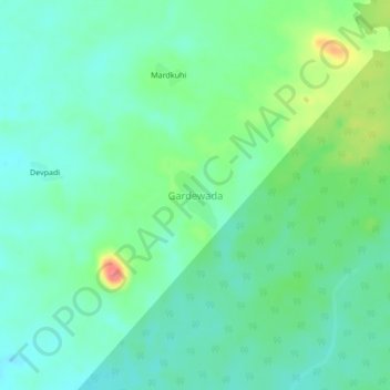
Name: Gardewada topographic map, elevation, terrain.

Location: Gardewada, Etapalli, Gadchiroli, Maharashtra, India (19.66276 80.54995 19.70276 80.58995)

Average elevation: 271 m

Minimum elevation: 251 m

Maximum elevation: 322 m

Gear up for your next adventure:

🛶Kayak Dry Bag - Waterproof storage for kayaking adventures
🧥Fleece Jacket - Warm and lightweight jacket for layering
🧥Waterproof Pants - Keep dry during rainy hiking conditions
🚲Heavy Duty Bike Lock - Secure your bike at the trailhead or during stops
🔋Emergency Crank Radio - Weather alerts and power without needing batteries

As an Amazon Associate, this site earns from qualifying purchases at no extra cost to you.