Geolocate

Pignier topographic map

Click on the map to display elevation.

About this map
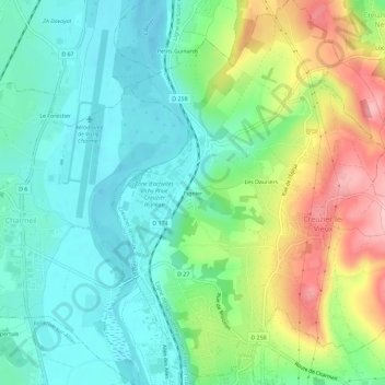
Name: Pignier topographic map, elevation, terrain.

Location: Pignier, Creuzier-le-Vieux, Vichy, Allier, Auvergne-Rhône-Alpes, France métropolitaine, 03300, France (46.14251 3.39872 46.18251 3.43872)

Average elevation: 291 m

Minimum elevation: 238 m

Maximum elevation: 400 m

Other topographic maps

Click on a map to view its topography, its elevation and its terrain.

Gear up for your next adventure:

🥾All-Terrain Hiking Boots - Versatile boots for varied hiking conditions
🏕️Camping Hammock - Integrated protection for sleeping between trees
🥾Hiking Boots - Sturdy boots providing ankle support and traction on rugged trails
👖Convertible Hiking Pants - Zip-off legs to adapt to changing weather conditions
🧴Bear Spray Holster - Quick-access carry for essential Canadian wilderness safety

As an Amazon Associate, this site earns from qualifying purchases at no extra cost to you.