
Jonha Falls topographic map
Interactive map
Click on the map to display elevation.
About this map
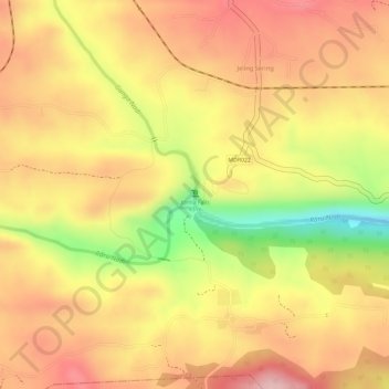
Name: Jonha Falls topographic map, elevation, terrain.
Location: Jonha Falls, Ranchi, Jharkhand, Inde (23.34189 85.60834 23.34199 85.60844)
Average elevation: 437 m
Minimum elevation: 308 m
Maximum elevation: 509 m