Geolocate

Tagabase topographic map

Click on the map to display elevation.

About this map

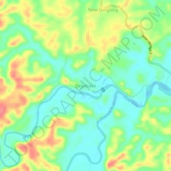
Name: Tagabase topographic map, elevation, terrain.

Location: Tagabase, Esperanza, Agusan del Sur, Caraga, 8513, Philippines (8.64536 125.56371 8.68536 125.60371)

Average elevation: 43 m

Minimum elevation: 13 m

Maximum elevation: 88 m

Gear up for your next adventure:

🥾Lightweight Hiking Shoes - Comfortable shoes for day hikes
🥾Mountaineering Boots - Supportive boots for climbing and high-altitude hiking
🥾Trekking Boots - Durable boots for long-distance trekking
🧥Thermal Fleece Jacket - Versatile insulation for changing mountain temperatures
🪑Ultralight Camping Stool - Compact seating for rest stops during long hikes

As an Amazon Associate, this site earns from qualifying purchases at no extra cost to you.