Geolocate

Wilmington topographic map

Click on the map to display elevation.

About this map

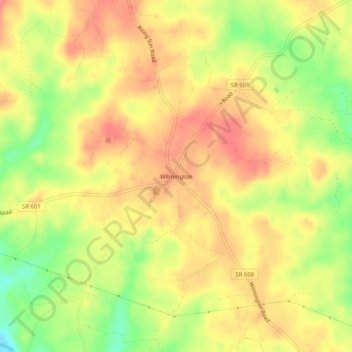
Name: Wilmington topographic map, elevation, terrain.

Location: Wilmington, Fluvanna County, Virginia, United States (37.82931 -78.22139 37.86931 -78.18139)

Average elevation: 108 m

Minimum elevation: 64 m

Maximum elevation: 135 m

Other topographic maps

Click on a map to view its topography, its elevation and its terrain.

Columbia

United States > Virginia > Fluvanna County

Average elevation: 78 m

Gear up for your next adventure:

🛶Kayak Accessories - Essential gear for safe and fun kayaking adventures
🥾Trail Hiking Boots - Supportive boots for rough trails
🧤Thermal Hiking Gloves - Grip-enhanced gloves for cold-weather altitude trekking
📷Outdoor Action Camera - Capture high-elevation views and rugged adventures
Camping Tent - Weather-resistant tents suitable for 2 to 6 people

As an Amazon Associate, this site earns from qualifying purchases at no extra cost to you.