Geolocate

Wanye topographic map

Click on the map to display elevation.

About this map

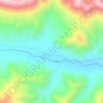
Name: Wanye topographic map, elevation, terrain.

Location: Wanye, Yangshok, Biru County, Nagqu City, Tibet, China (31.04211 93.55146 31.08211 93.59146)

Average elevation: 4,810 m

Minimum elevation: 4,562 m

Maximum elevation: 5,339 m

Gear up for your next adventure:

💡LED Headlamp - Hands-free illumination for night hiking and camping
🪑Ultralight Camping Stool - Compact seating for rest stops during long hikes
🔦LED Headlamp - Hands-free lighting for early morning starts or late finishes
🕶️Polarized Sunglasses - Reduces glare from snow and water at high elevations
❄️Traction Ice Cleats - Slip-on spikes for icy trails and winter hiking

As an Amazon Associate, this site earns from qualifying purchases at no extra cost to you.