
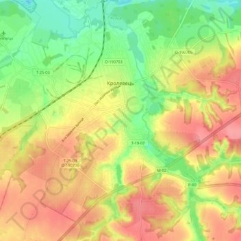
Кролевець topographic map
Interactive map
Click on the map to display elevation.
About this map
Name: Кролевець topographic map, elevation, terrain.
Location: Кролевець, Кролевецький район, Oblast de Soumy, Ukraine (51.51176 33.32858 51.57748 33.42399)
Average elevation: 165 m
Minimum elevation: 121 m
Maximum elevation: 203 m