
Pulau Berhala topographic map
Interactive map
Click on the map to display elevation.
About this map
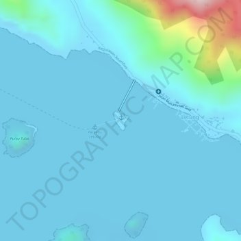
Name: Pulau Berhala topographic map, elevation, terrain.
Location: Pulau Berhala, Letung, Riau Islands, Indonesia (2.98773 105.69665 2.98996 105.69845)
Average elevation: 35 m
Minimum elevation: -5 m
Maximum elevation: 341 m