
La Rudiecha topographic map
Interactive map
Click on the map to display elevation.
About this map
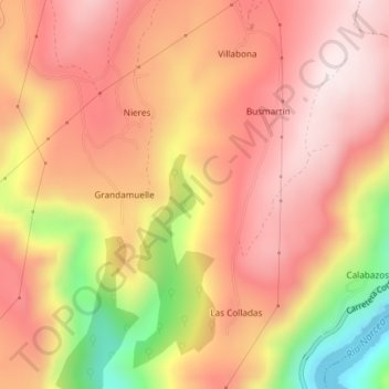
Name: La Rudiecha topographic map, elevation, terrain.
Location: La Rudiecha, Tineo, Астурия, Испания (43.30873 -6.34036 43.32873 -6.32036)
Average elevation: 556 m
Minimum elevation: 213 m
Maximum elevation: 742 m