Geolocate

Manikdoh topographic map

Click on the map to display elevation.

About this map

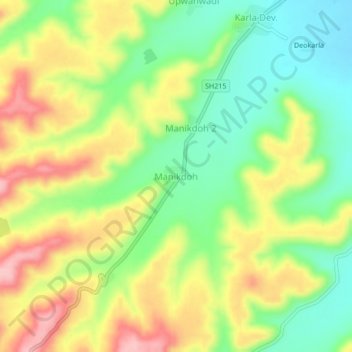
Name: Manikdoh topographic map, elevation, terrain.

Location: Manikdoh, Pusad, Yavatmal District, Maharashtra, 445215, India (19.83001 77.48236 19.87001 77.52236)

Average elevation: 433 m

Minimum elevation: 366 m

Maximum elevation: 513 m

Gear up for your next adventure:

🚑Survival Whistle - Signal for help across long distances in mountains
🚲MTB Frame Bag - Carry tools and maps directly on your bicycle frame
💧Hydration Pack - Hands-free hydration system for long hikes
🛶Canoe Life Vest - Safety vest for water sports
🧥Thermal Fleece Jacket - Versatile insulation for changing mountain temperatures

As an Amazon Associate, this site earns from qualifying purchases at no extra cost to you.