Geolocate

Ra Gusela topographic map

Click on the map to display elevation.

About this map

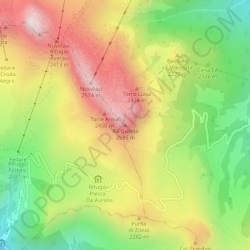
Name: Ra Gusela topographic map, elevation, terrain.

Location: Ra Gusela, San Vito di Cadore, Belluno, Veneto, 32046, Italy (46.49070 12.05093 46.49080 12.05103)

Average elevation: 2,153 m

Minimum elevation: 1,737 m

Maximum elevation: 2,593 m

Gear up for your next adventure:

🥾Mountain Hiking Boots - High-traction boots for rocky terrain
🧊Insulated Water Bottle - Keeps drinks cold in summer and prevents freezing in winter
🧼Biodegradable Camp Soap - Environmentally friendly cleaning for gear and body
🥾Hiking Gaiters - Protect legs and shoes from mud, snow, and debris
🧥Waterproof Hiking Jacket - Protect yourself from rain and wind while hiking

As an Amazon Associate, this site earns from qualifying purchases at no extra cost to you.