
Aguelock topographic map
Interactive map
Click on the map to display elevation.
About this map
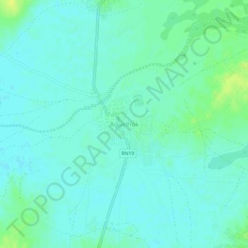
Name: Aguelock topographic map, elevation, terrain.
Location: Aguelock, Cercle de Tessalit, Kidal, Mali (19.44490 0.83490 19.48490 0.87490)
Average elevation: 422 m
Minimum elevation: 417 m
Maximum elevation: 434 m