Geolocate

Scoutland topographic map

Click on the map to display elevation.

About this map

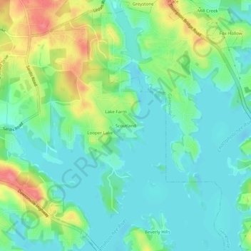
Name: Scoutland topographic map, elevation, terrain.

Location: Scoutland, Hall County, Georgia, 30506, United States (34.32177 -83.89435 34.36177 -83.85435)

Average elevation: 343 m

Minimum elevation: 321 m

Maximum elevation: 392 m

Gear up for your next adventure:

🔥Emergency Fire Starter - Reliable ignition source for all weather conditions
🥾Mountain Hiking Shoes - Shoes with superior grip for mountainous terrain
💡Solar Camping Lamp - Eco-friendly lighting for campsites
💡Compact LED Flashlight - Powerful and portable flashlight for outdoor use
🎒Hiking Backpack - Lightweight and ergonomic backpacks for day hikes or multi-day treks

As an Amazon Associate, this site earns from qualifying purchases at no extra cost to you.