Geolocate

Mallnitz topographic map

Click on the map to display elevation.

About this map

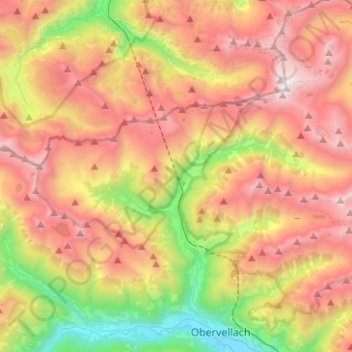
Name: Mallnitz topographic map, elevation, terrain.

Location: Mallnitz, Bezirk Spittal an der Drau, Carinthia, 9822, Austria (46.96665 13.07000 47.05058 13.32043)

Average elevation: 1,926 m

Minimum elevation: 662 m

Maximum elevation: 3,193 m

Gear up for your next adventure:

🧭GPS Tracker - Track your location in remote areas safely
🧢Hiking Hat - Sun-protective and breathable hats for long treks
🏃Hydration Running Vest - Carry water and maps close to your body for speed
🦶Anti-Blister Balm - Prevents friction and hotspots during long ascents
💡Compact LED Flashlight - Powerful and portable flashlight for outdoor use

As an Amazon Associate, this site earns from qualifying purchases at no extra cost to you.