Geolocate

Peend topographic map

Click on the map to display elevation.

About this map

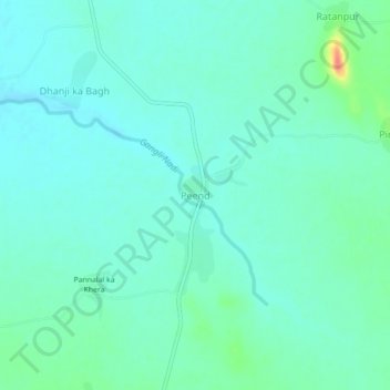
Name: Peend topographic map, elevation, terrain.

Location: Peend, Bari Sadri Tehsil, Chittorgarh, Rajasthan, India (24.48193 74.47638 24.52193 74.51638)

Average elevation: 464 m

Minimum elevation: 451 m

Maximum elevation: 513 m

Gear up for your next adventure:

🥾Waterproof Trail Shoes - Shoes designed to handle wet terrain
Camping Tent - Weather-resistant tents suitable for 2 to 6 people
🧴Bear Spray Holster - Quick-access carry for essential Canadian wilderness safety
🪑Ultralight Camping Stool - Compact seating for rest stops during long hikes
💡LED Camping Lantern - Illuminate your campsite with long-lasting lanterns

As an Amazon Associate, this site earns from qualifying purchases at no extra cost to you.