Geolocate

Kulim topographic map

Click on the map to display elevation.

About this map

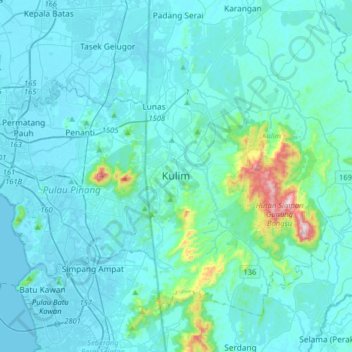
Name: Kulim topographic map, elevation, terrain.

Location: Kulim, Kedah, 09090, Malaysia (5.20638 100.39257 5.52638 100.71257)

Average elevation: 54 m

Minimum elevation: -5 m

Maximum elevation: 630 m

Gear up for your next adventure:

🧴Outdoor Sunscreen - High SPF protection for high-altitude UV exposure
💡LED Headlamp - Hands-free illumination for night hiking and camping
🥾Hiking Shoes - Durable and comfortable shoes for trail hiking
🎒Hiking Backpack - Lightweight and ergonomic backpacks for day hikes or multi-day treks
🧥Waterproof Pants - Keep dry during rainy hiking conditions

As an Amazon Associate, this site earns from qualifying purchases at no extra cost to you.