Geolocate

Benda topographic map

Click on the map to display elevation.

About this map

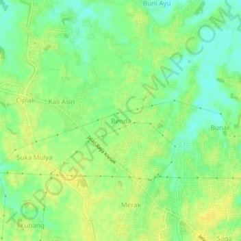
Name: Benda topographic map, elevation, terrain.

Location: Benda, Tangerang Regency, Banten, 15610, Indonesia (-6.18140 106.41832 -6.14140 106.45832)

Average elevation: 15 m

Minimum elevation: 3 m

Maximum elevation: 23 m

Gear up for your next adventure:

💧Hydration Bladder - Hands-free hydration solution for long treks
🛶Kayak Dry Bag - Waterproof storage for kayaking adventures
🩹Moleskin Blister Pads - Direct protection for painful foot pressure points
🥫Freeze-Dried Meals - Lightweight, high-calorie nutrition for multi-day treks
🧤Rechargeable Heated Gloves - Extreme warmth for Canadian winter expeditions

As an Amazon Associate, this site earns from qualifying purchases at no extra cost to you.