
Thank you for supporting this site ❤️
Make a donation
Make a donation
Gear up for your next adventure:
As an Amazon Associate, this site earns from qualifying purchases at no extra cost to you.
Metha topographic map
Click on the map to display elevation.
Thank you for supporting this site ❤️
Make a donation
Make a donation
Gear up for your next adventure:
As an Amazon Associate, this site earns from qualifying purchases at no extra cost to you.
About this map
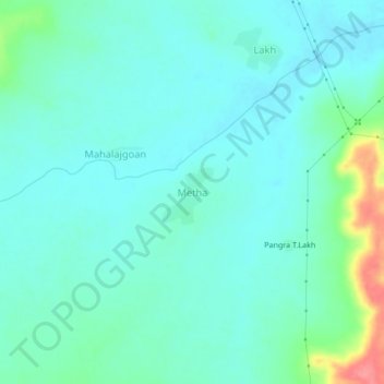
Name: Metha topographic map, elevation, terrain.
Location: Metha, Aundha (Nagnath), Hingoli, Maharashtra, Inde (19.60179 77.11106 19.64179 77.15106)
Average elevation: 451 m
Minimum elevation: 435 m
Maximum elevation: 514 m
Thank you for supporting this site ❤️
Make a donation
Make a donation
Gear up for your next adventure:
As an Amazon Associate, this site earns from qualifying purchases at no extra cost to you.