
Rio Grande, Pagosa, and Northern Railroad topographic map
Interactive map
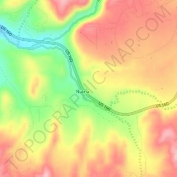
Click on the map to display elevation.
About this map
Name: Rio Grande, Pagosa, and Northern Railroad topographic map, elevation, terrain.
Average elevation: 2,224 m
Minimum elevation: 2,134 m
Maximum elevation: 2,290 m