Geolocate

Makonde topographic map

Click on the map to display elevation.

About this map

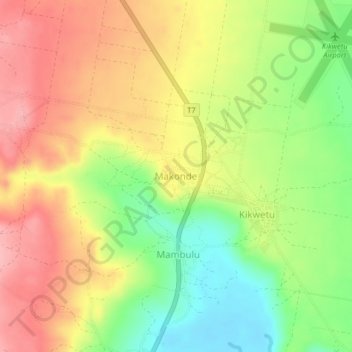
Name: Makonde topographic map, elevation, terrain.

Location: Makonde, Lindi Municipal, Lindi Region, Coastal Zone, Tanzania (-9.88644 39.72036 -9.84644 39.76036)

Average elevation: 65 m

Minimum elevation: 2 m

Maximum elevation: 121 m

Gear up for your next adventure:

🥾Trekking Poles - Adjustable trekking poles to reduce knee stress and improve stability
🧴Insect Repellent - Protect yourself from bugs during outdoor adventures
🚑Survival Whistle - Signal for help across long distances in mountains
🧦Hiking Socks - Moisture-wicking and comfortable socks for long hikes
🧣Merino Neck Gaiter - Protects against wind, sun, and cold at high altitudes

As an Amazon Associate, this site earns from qualifying purchases at no extra cost to you.