Geolocate

Matisi B topographic map

Click on the map to display elevation.

About this map

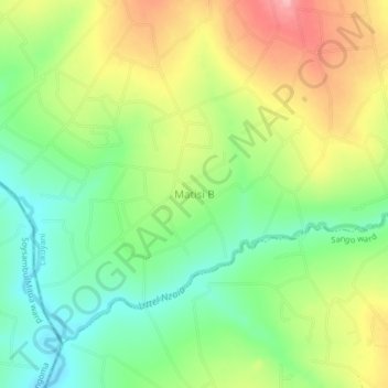
Name: Matisi B topographic map, elevation, terrain.

Location: Matisi B, Nzoia ward, Likuyani, Kakamega County, Western, Kenya (0.77572 35.06149 0.81572 35.10149)

Average elevation: 1,793 m

Minimum elevation: 1,736 m

Maximum elevation: 1,869 m

Gear up for your next adventure:

🔭Outdoor Binoculars - Lightweight binoculars for birdwatching and hiking
🌬️Windproof Camp Stove - Efficient cooking even on exposed mountain peaks
🧶550 Survival Paracord - Versatile utility cord for emergency repairs and rigging
🧊Insulated Water Bottle - Keeps drinks cold in summer and prevents freezing in winter
🛏️Sleeping Bag - Warm and compact sleeping bags for outdoor camping

As an Amazon Associate, this site earns from qualifying purchases at no extra cost to you.