
Argyle topographic map
Click on the map to display elevation.
About this map
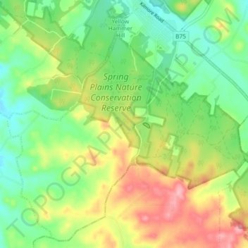
Name: Argyle topographic map, elevation, terrain.
Location: Argyle, City of Greater Bendigo, Victoria, 3523, Australia (-36.99429 144.68055 -36.93957 144.75345)
Average elevation: 285 m
Minimum elevation: 232 m
Maximum elevation: 365 m
Other topographic maps
Click on a map to view its topography, its elevation and its terrain.