Geolocate

Noorvik topographic map

Click on the map to display elevation.

About this map

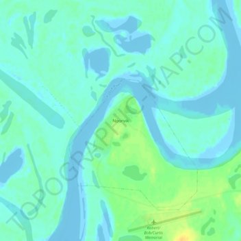
Name: Noorvik topographic map, elevation, terrain.

Location: Noorvik, Northwest Arctic, Alaska, 99763, United States (66.81423 -161.06106 66.85423 -161.02106)

Average elevation: 4 m

Minimum elevation: -10 m

Maximum elevation: 22 m

Gear up for your next adventure:

🥾Trail Hiking Socks - Comfortable socks to prevent blisters and fatigue
🦶Hiking Shoe Insoles - Added support for high arches and long days on feet
🧭Orienteering Kit - Tools for map reading and navigation in the wild
Camping Tent - Weather-resistant tents suitable for 2 to 6 people
🔋Lithium AA Batteries - Long-lasting power that performs in extreme cold

As an Amazon Associate, this site earns from qualifying purchases at no extra cost to you.