Geolocate

Creighton topographic map

Click on the map to display elevation.

About this map

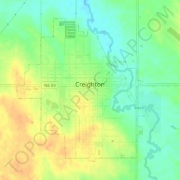
Name: Creighton topographic map, elevation, terrain.

Location: Creighton, Knox County, Nebraska, 68729, United States (42.45509 -97.92107 42.47654 -97.89424)

Average elevation: 499 m

Minimum elevation: 482 m

Maximum elevation: 515 m

Other topographic maps

Click on a map to view its topography, its elevation and its terrain.

Gear up for your next adventure:

🧢Sun Hat - Wide-brim hat for sun protection
💧Collapsible Water Bottle - Space-saving water bottle for outdoor activities
🧥Softshell Jacket - Windproof and breathable jacket for hiking
🧰Emergency Multi-Tool - Compact multi-tool for outdoor survival
🧣Evaporative Cooling Towel - Beat the heat during intense summer climbs

As an Amazon Associate, this site earns from qualifying purchases at no extra cost to you.