Geolocate

Ananivka topographic map

Click on the map to display elevation.

About this map

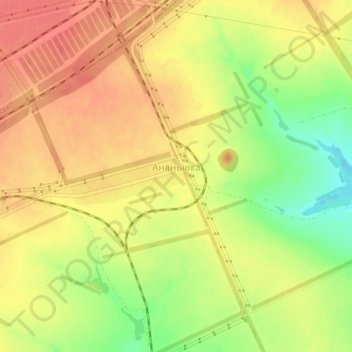
Name: Ananivka topographic map, elevation, terrain.

Location: Ananivka, Sverdlovsk Raion, Luhansk Oblast, 94803, Ukraine (48.05834 39.70470 48.06381 39.72519)

Average elevation: 296 m

Minimum elevation: 259 m

Maximum elevation: 320 m

Gear up for your next adventure:

🥤Collapsible Travel Cup - Saves space and weight in your mess kit
🎒Hiking Daypack - Lightweight and durable backpacks for day trips and excursions
🔦LED Headtorch - Bright and durable light for night activities
🧦Hiking Socks - Moisture-wicking and comfortable socks for long hikes
🥾All-Terrain Hiking Boots - Versatile boots for varied hiking conditions

As an Amazon Associate, this site earns from qualifying purchases at no extra cost to you.