Geolocate

Grondana topographic map

Click on the map to display elevation.

About this map
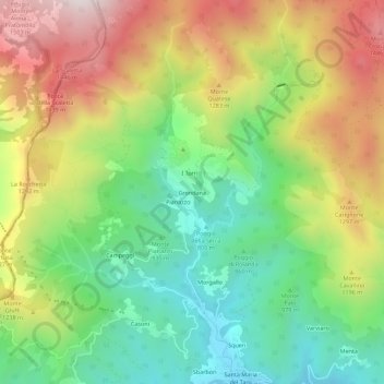
Name: Grondana topographic map, elevation, terrain.

Location: Grondana, Tornolo, Parma, Emilia-Romagna, Italia (44.43238 9.46425 44.47238 9.50425)

Average elevation: 1,076 m

Minimum elevation: 714 m

Maximum elevation: 1,573 m

Gear up for your next adventure:

👟Leg Gaiters - Keep debris, mud, and snow out of your boots
🎒Hiking Daypack - Lightweight and durable backpacks for day trips and excursions
🦯Trekking Poles - Reduced impact on joints for steep topographic climbs
🛏️Camping Sleeping Mat - Comfortable mats for sleeping outdoors
🥾Mountain Hiking Boots - High-traction boots for rocky terrain

As an Amazon Associate, this site earns from qualifying purchases at no extra cost to you.