
El Pacayal topographic map
Interactive map
Click on the map to display elevation.
About this map
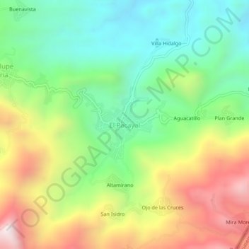
Name: El Pacayal topographic map, elevation, terrain.
Location: El Pacayal, Amatenango de la Frontera, Chiapas, México (15.57825 -92.06259 15.61825 -92.02259)
Average elevation: 1,252 m
Minimum elevation: 791 m
Maximum elevation: 1,958 m