Geolocate

Jordan topographic map

Click on the map to display elevation.

About this map

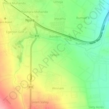
Name: Jordan topographic map, elevation, terrain.

Location: Jordan, Njoro ward, Njoro, Nakuru, Rift Valley, 20106, Kenya (-0.36421 35.93096 -0.32421 35.97096)

Average elevation: 2,161 m

Minimum elevation: 2,104 m

Maximum elevation: 2,229 m

Gear up for your next adventure:

🧴Outdoor Sunscreen - High SPF protection for high-altitude UV exposure
🥾Trail Running Shoes - Lightweight and durable shoes for trail running
🥾Trail Hiking Socks - Comfortable socks to prevent blisters and fatigue
🎒Hiking Backpack - Lightweight and ergonomic backpacks for day hikes or multi-day treks
🧼Travel Hand Sanitizer - Keep hands clean when water is scarce

As an Amazon Associate, this site earns from qualifying purchases at no extra cost to you.