
Tláhuac topographic map
Interactive map
Click on the map to display elevation.
About this map
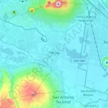
Name: Tláhuac topographic map, elevation, terrain.
Location: Tláhuac, CDMX, Mexique (19.21057 -99.06897 19.32713 -98.94030)
Average elevation: 2,288 m
Minimum elevation: 2,223 m
Maximum elevation: 2,740 m
Other topographic maps
Click on a map to view its topography, its elevation and its terrain.