
Shannon topographic map
Interactive map
Click on the map to display elevation.
About this map
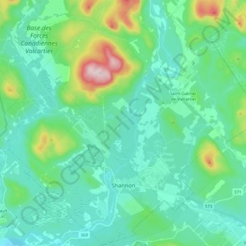
Name: Shannon topographic map, elevation, terrain.
Average elevation: 222 m
Minimum elevation: 131 m
Maximum elevation: 602 m
La Jacques-Cartier trails, hiking, mountain biking, running and outdoor activities
Other topographic maps
Click on a map to view its topography, its elevation and its terrain.
Lac Saint-Thomas
Canada > Quebec > La Jacques-Cartier > Stoneham-et-Tewkesbury
Average elevation: 505 m