Geolocate

Manzanilla topographic map

Click on the map to display elevation.

About this map

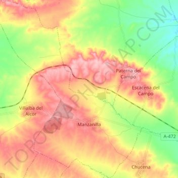
Name: Manzanilla topographic map, elevation, terrain.

Location: Manzanilla, El Condado, Huelva, Andalusia, Spain (37.35704 -6.50550 37.46207 -6.39267)

Average elevation: 128 m

Minimum elevation: 59 m

Maximum elevation: 192 m

Other topographic maps

Click on a map to view its topography, its elevation and its terrain.

El Rocío

Spain > Andalusia > El Condado > Almonte

Average elevation: 9 m

Gear up for your next adventure:

🔦LED Headtorch - Bright and durable light for night activities
🥾Light Hiking Boots - Lightweight and comfortable boots for day hikes
🛏️Sleeping Bag - Warm and compact sleeping bags for outdoor camping
🔭Outdoor Binoculars - Lightweight binoculars for birdwatching and hiking
🦯Trekking Poles - Reduced impact on joints for steep topographic climbs

As an Amazon Associate, this site earns from qualifying purchases at no extra cost to you.