
Resaca De La Palma State Park topographic map
Interactive map
Click on the map to display elevation.
About this map
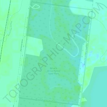
Name: Resaca De La Palma State Park topographic map, elevation, terrain.
Average elevation: 12 m
Minimum elevation: 7 m
Maximum elevation: 16 m
Other topographic maps
Click on a map to view its topography, its elevation and its terrain.
Palm Grove
United States > Texas > Cameron County > Brownsville
Palm Grove, Brownsville, Cameron County, Texas, United States
Average elevation: 9 m