
Stella topographic map
Click on the map to display elevation.
About this map
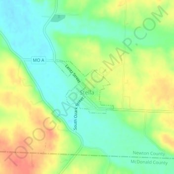
Name: Stella topographic map, elevation, terrain.
Location: Stella, Newton County, Missouri, United States (36.75853 -94.19716 36.76676 -94.18549)
Average elevation: 360 m
Minimum elevation: 335 m
Maximum elevation: 391 m