
Lostwithiel topographic map
Interactive map
Click on the map to display elevation.
About this map
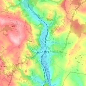
Name: Lostwithiel topographic map, elevation, terrain.
Location: Lostwithiel, Cornouailles, Angleterre, Royaume-Uni (50.38836 -4.70686 50.43598 -4.64356)
Average elevation: 90 m
Minimum elevation: -4 m
Maximum elevation: 185 m