Geolocate

Rockcliffe topographic map

Click on the map to display elevation.

About this map

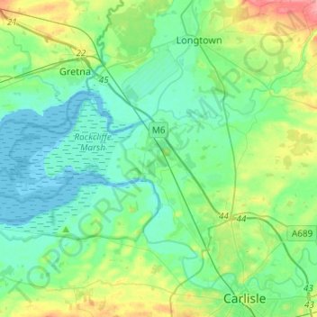
Name: Rockcliffe topographic map, elevation, terrain.

Location: Rockcliffe, Cumberland, England, United Kingdom (54.92772 -3.18281 54.98593 -2.93883)

Average elevation: 20 m

Minimum elevation: -2 m

Maximum elevation: 80 m

Other topographic maps

Click on a map to view its topography, its elevation and its terrain.

Cold Fell

United Kingdom > England > Cumberland > Castle Carrock

Average elevation: 517 m

Ennerdale Bridge

United Kingdom > England > Cumberland

Average elevation: 187 m

Harker

United Kingdom > England > Cumberland

Average elevation: 24 m

Carlisle

United Kingdom > England > Cumberland

Average elevation: 31 m

Gear up for your next adventure:

🧦Outdoor Socks - Durable socks designed for hiking and outdoor sports
🛏️Sleeping Bag - Warm and compact sleeping bags for outdoor camping
🔪Outdoor Multitool - Versatile tool for repairs and food prep in the wild
🧢Sun Hat - Wide-brim hat for sun protection
🧥Packable Rain Jacket - Breathable waterproof layer for unpredictable weather

As an Amazon Associate, this site earns from qualifying purchases at no extra cost to you.