
Lecce Pata topographic map
Click on the map to display elevation.
About this map
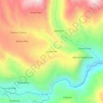
Name: Lecce Pata topographic map, elevation, terrain.
Location: Lecce Pata, Corani, Province of Carabaya, Puno, Peru (-13.87730 -70.66719 -13.83730 -70.62719)
Average elevation: 4,436 m
Minimum elevation: 4,061 m
Maximum elevation: 4,862 m