
Keystone Lake topographic map
Click on the map to display elevation.
Keystone Lake
The spillway is a gated ogee weir, 720 feet (220 m) wide with eighteen tainter gates, each 40 by 35 feet (12 by 11 m). Spillway capacity at the maximum pool level (elevation 766.0 feet (233.5 m)) is 939,000 cubic feet per second (26,600 m3/s). Capacity at the top of the flood control pool level (elevation 754.0 feet (229.8 m)) is 565,000 cubic feet per second (16,000 m3/s). The spillway also has nine sluices, each 5.67 by 10 feet (1.73 by 3.05 m).
About this map
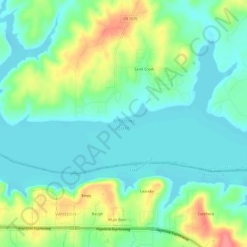
Name: Keystone Lake topographic map, elevation, terrain.
Average elevation: 241 m
Minimum elevation: 218 m
Maximum elevation: 292 m