Geolocate

Buffalo topographic map

Click on the map to display elevation.

About this map

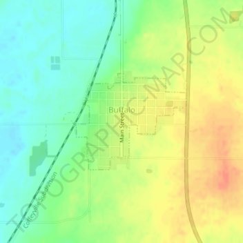
Name: Buffalo topographic map, elevation, terrain.

Location: Buffalo, Wilson County, Kansas, 66717, United States (37.70311 -95.70390 37.71383 -95.68837)

Average elevation: 283 m

Minimum elevation: 262 m

Maximum elevation: 305 m

Gear up for your next adventure:

🔋Emergency Crank Radio - Weather alerts and power without needing batteries
🧢Beanie Hat - Keep your head warm in cold weather
🔦LED Headtorch - Bright and durable light for night activities
🧥Ultralight Puffy Jacket - Maximum warmth that packs down to the size of an orange
🥾Trail Running Shoes - Lightweight and durable shoes for trail running

As an Amazon Associate, this site earns from qualifying purchases at no extra cost to you.