
Lalai topographic map
Interactive map
Click on the map to display elevation.
About this map
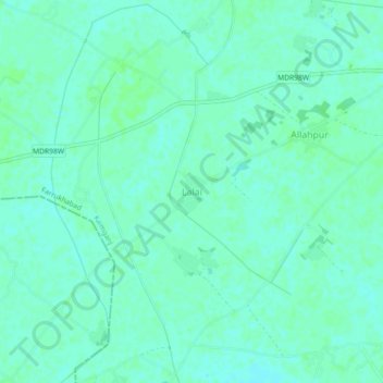
Name: Lalai topographic map, elevation, terrain.
Location: Lalai, Kaimganj, Farrukhabad, Uttar Pradesh, Inde (27.50186 79.26133 27.54186 79.30133)
Average elevation: 158 m
Minimum elevation: 154 m
Maximum elevation: 160 m