Geolocate

Sand Springs topographic map

Click on the map to display elevation.

About this map

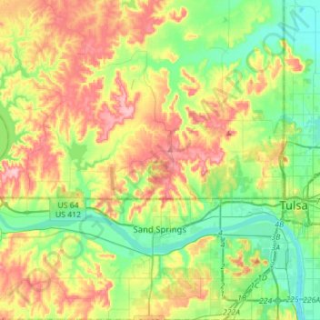
Name: Sand Springs topographic map, elevation, terrain.

Location: Sand Springs, Tulsa County, Oklahoma, United States (36.07521 -96.27021 36.30080 -96.06518)

Average elevation: 238 m

Minimum elevation: 182 m

Maximum elevation: 324 m

Gear up for your next adventure:

💡Portable Camping Lamp - Rechargeable lamp for campsite lighting
🛁Quick-Dry Microfiber Towel - Space-saving towel that dries rapidly on the move
🔥Camping Stove - Portable stoves to cook outdoors with ease
🔦LED Flashlight - Powerful and long-lasting flashlight for camping and emergencies
🧣Evaporative Cooling Towel - Beat the heat during intense summer climbs

As an Amazon Associate, this site earns from qualifying purchases at no extra cost to you.