Geolocate

Dahuangpu topographic map

Click on the map to display elevation.

About this map

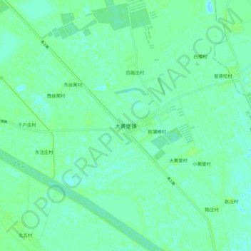
Name: Dahuangpu topographic map, elevation, terrain.

Location: Dahuangpu, Wuqing District, Tianjin, China (39.41008 117.21133 39.49008 117.29133)

Average elevation: 4 m

Minimum elevation: -1 m

Maximum elevation: 9 m

Gear up for your next adventure:

🧴Outdoor Sunscreen - High SPF protection for high-altitude UV exposure
🛁Quick-Dry Microfiber Towel - Space-saving towel that dries rapidly on the move
📷Outdoor Action Camera - Capture high-elevation views and rugged adventures
🪑Ultralight Camping Stool - Compact seating for rest stops during long hikes
🕶️Polarized Sunglasses - Reduces glare from snow and water at high elevations

As an Amazon Associate, this site earns from qualifying purchases at no extra cost to you.