Geolocate

Methipura topographic map

Click on the map to display elevation.

About this map

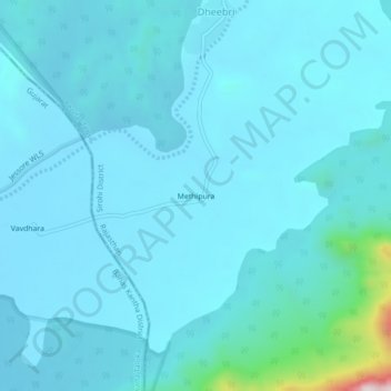
Name: Methipura topographic map, elevation, terrain.

Location: Methipura, Reodar Tehsil, Sirohi District, Rajasthan, India (24.41727 72.44363 24.45727 72.48363)

Average elevation: 280 m

Minimum elevation: 230 m

Maximum elevation: 834 m

Gear up for your next adventure:

🥾Trail Hiking Shoes - Durable shoes designed for rugged trails
🛁Quick-Dry Microfiber Towel - Space-saving towel that dries rapidly on the move
🚲MTB Frame Bag - Carry tools and maps directly on your bicycle frame
🧢Outdoor Visor - Breathable visor for sunny hikes
🛌Insulated Sleeping Pad - Critical thermal barrier between you and the cold ground

As an Amazon Associate, this site earns from qualifying purchases at no extra cost to you.